
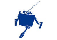
 Räumung
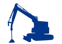 Räumung
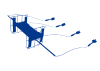 Sondierung
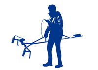 Sondierung
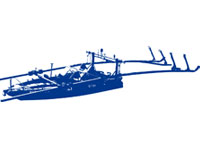 Sondierung auf Flüssen, Seen und in Häfen
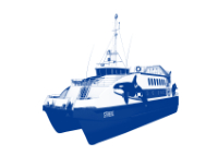 Marine
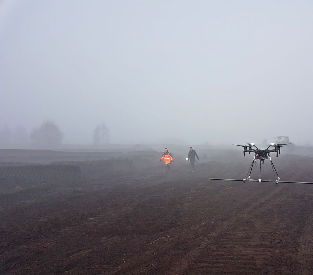
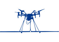 Kampfmittelsondierung mit Drohne


Die Entwicklung technischer Innovationen zur Kampfmittelsondierung ist zum Markenzeichen der SeaTerra GmbH geworden. Wir haben die besondere Herausforderung, den Bau einer Drohne zur Kampfmittelsondierung gern angenommen und können nun, nach mehrjähriger Entwicklungsarbeit, ein zuverlässiges und effizientes Messsystem zur magnetischen Datenaufnahme zum Einsatz bringen.
DOWNLOAD: Datasheet – SeaTerra Drone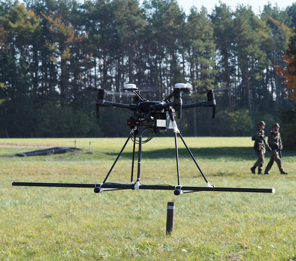
Sensorik
Ausgerüstet mit drei Fluxgate Magnetik Sensoren ist unsere Drohne in der Lage magnetische Daten im Flug aufzuzeichnen.
Die, durch die Flugbewegungen und stromgetriebenen Rotoren entstehenden Störungen, werden dabei während der Datenaufnahme stetig kompensiert.
Einsatzgebiete
Wir haben unsere Drohne hinsichtlich verschiedener Einsatzszenarien entwickelt:
- Für schwer zu begehendes Gelände, wie Moore, Feuchtwiesen, Strand- und Wattflächen, Flachwasserbereiche.
- Für weite, offene Flächen, wie z.B. Truppenübungsplätze, Wüsten, Geröllfelder.
- Für Flächen die nicht ohne Risiko für Leib und Leben betreten werden können.
In all diesen Bereichen bietet die Drohne die Möglichkeit einer lückenlosen Datenaufzeichnung entlang vordefinierter Fluglinien.
Mit einem magnetischen Noise von 3nT, sind wir in der Lage, mittels der Drohne, Objekte von 5,0 Kg metallischer Masse bis in 4,0m Tiefe sicher zu detektieren.
Die Flughöhe kann hierbei variabel, aber dem Bewuchs und der Topographie entsprechend, vor dem Flug definiert werden. Flächen, die frei von störendem Bewuchs sind, werden in einer Höhe von 0,5m über Grund beflogen. Der Abstand zum Grund wird durch einen optischen Sensors ermittelt, die Höhe stabil gehalten und wenn notwendig automatisch korrigiert.
Das Dual-GPS mit RTK Genauigkeit stellt dabei eine Positionsgenauigkeit der Drohne von+/- 10cm sicher. Der Aufbau des Dual GPS ermöglicht darüber hinaus, die Aufzeichnung der Flugrichtung und des Winkels, was die Voraussetzung für einen exakten Linienflug und die nachfolgende, zuverlässige Datenauswertung ist.
Contact us
Bei Fragen zur Methodik, Technik und Verfügbarkeit stehen wir Ihnen jederzeit gerne zur Verfügung.
Telefon: +49 (0) 33397 29727
Telefax: +49 (0) 33397 29729
E-Mail: info@seaterra.de